Eye (in the sky) on Ukraine
Aviation and Aerospace student’s senior project maps the paths of satellites as they photograph the war zone.
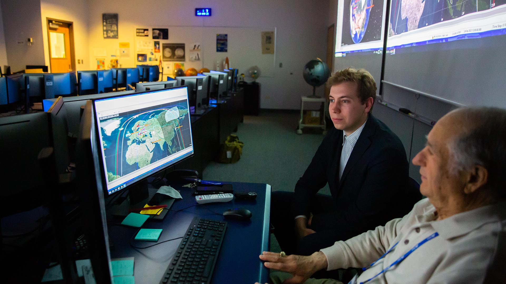
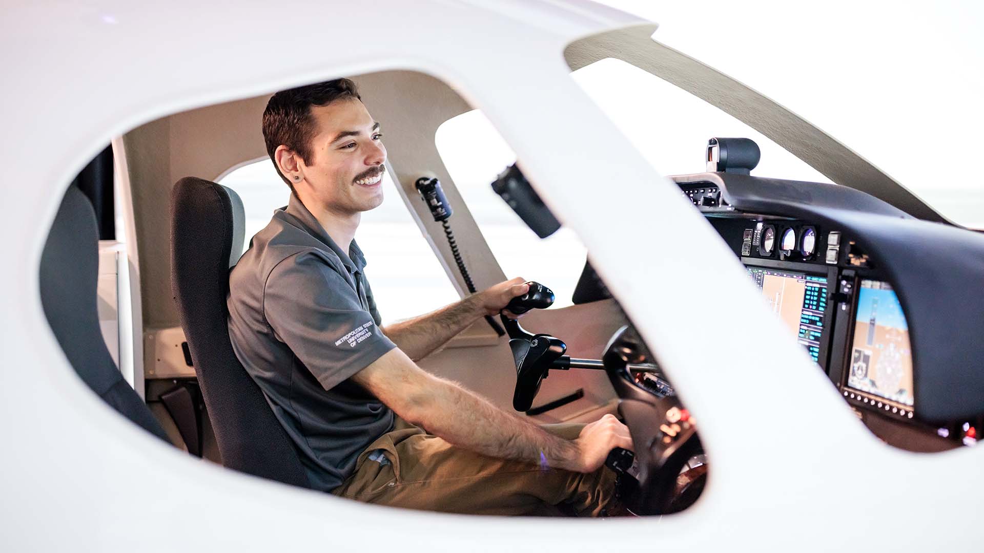
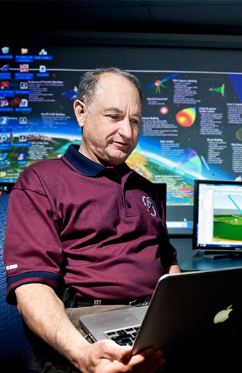
Retired Air Force Col. Jose Lopez, a senior lecturer in the Aviation and Aerospace Department at Metropolitan State University of Denver, encourages his students to apply their knowledge to real-life scenarios being used in the industry today.
“It’s important that students are able to apply what they’re learning in the classroom,” Lopez said. “Otherwise, we’re not preparing them for their careers.”
Student Adrian White couldn’t have found a timelier real-life application for his senior project this spring: He focused on how satellites help tell the story of the war in Ukraine.
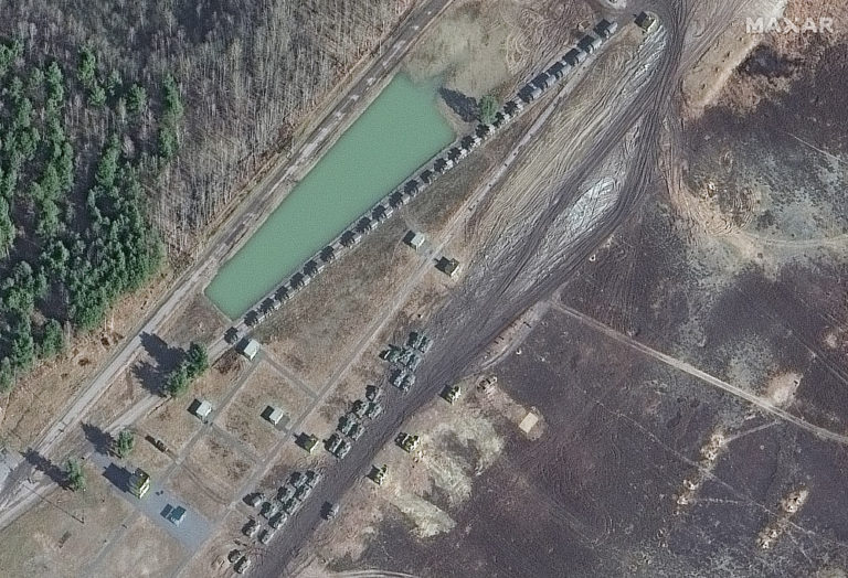
“I think it’s very easy to ignore or not really grasp the impacts of a war halfway around the world, but when you see the satellite images of a convoy of tanks or a mass grave, it makes it all so much more real,” he said.
RELATED: Russian invasion tests the international order
During a conversation with Lopez, White mentioned having recently met an executive from Maxar Technologies, a space-technology company based in Westminster. Lopez told White about Maxar’s work capturing images of Ukraine with the company’s satellites. White contacted his new acquaintance at Maxar and, with the company’s support, began his project in February, just as the Russian invasion began.
White used modeling software to map four satellites’ paths as they circled the globe, sending images of war back to Maxar.
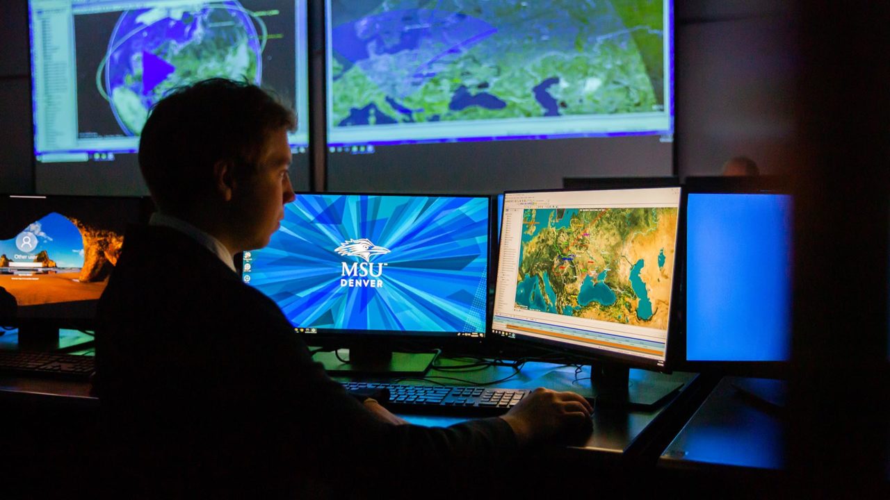
“I wanted to see at what times within a two-week period these satellites passed over certain cities in Ukraine and how much area the picture covered when it was taken,” White said. He also simulated the range of two Patriot missile-defense batteries in eastern Poland in case of a missile strike on Ukraine or Poland. And he added 10 ground stations around the world, which communicate with the Maxar satellites as they pass over.
“This way, the satellites are able to send the images they take from space to Earth so it can get to, say, the military or Maxar headquarters,” White said.
For this project, White used modeling software taught by Lopez for the course, Systems Tool Kit, or STK, and the programming and computing platform Matlab. Lopez recently looked at 126 open positions in the aviation-and-aerospace industry, and 100 of them required knowledge of Matlab.
“It’s important that we work with our students to prepare them to be engineers and not treat them like they are already engineers,” said Lopez. “We need to help them understand the application of the math and science they use and not to be afraid of it.”
And for Aviation and Aerospace Department grads, there are a lot of jobs to choose from nearby. The aviation-and-aerospace industry in Colorado has more than 1,000 companies employing nearly 28,000 people, according to the Colorado Office of Economic Development and International Trade. Industry jobs grew by 23% between 2010 and 2019, prompting the Brookings Institution to describe Colorado as having “one of the most diversified, multidimensional and high-potential space economies in the nation.”
RELATED: Amid a pilot shortage, aviation students get a shorter runway to their careers
With a list of contacts through his professors and experience at a job fair held by Denver-based United Airlines, White is in good shape before graduation.
“I’ve been through the first two steps of the interview process with United and am hoping to work in their Operations Center,” he said, “but my degree is pretty flexible, and I’m excited by the possibilities.”

