Cold, hard facts about the new iceberg
Meteorology faculty member discusses the implications of ice the size of Delaware breaking off from a shelf in Antarctica.

A chunk of floating ice that weighs more than a trillion metric tons recently broke away from the Antarctic Peninsula, producing one of the largest icebergs ever recorded. Meteorology associate professor Keah Schuenemann, Ph.D., shares her thoughts on this event and how it may provide a glimpse into future changes in the Antarctic and beyond.
What happened to cause the Antarctic ice-shelf break?
A crack more than 100 miles long developed several years ago in a floating ice shelf called Larsen C, on the northeastern side of the Antarctic Peninsula. It was confirmed by scientists on July 12 that the ice shelf had broken free, forming an iceberg the size of Delaware. An ice shelf is a floating tongue of ice that sticks out over the water but is attached to the land.
Because the iceberg was created from an ice shelf and not land ice like a glacier or ice sheet, it doesn’t make a large impact on global sea levels. NASA stated that the iceberg will only add one-tenth of a millimeter, 10 percent of that smallest little hash mark on the metric side of your ruler, to global sea levels. It’s huge, though. If it had come from land, it would have contributed 2.8 millimeters to global sea levels, or enough water to fill Lake Michigan. That’s very significant. We are slowly losing the ice shelves on the peninsula, but this iceberg was only 12 percent of the size of the Larsen C ice shelf. The rest of the shelf seems stable for now. We lost Larsen B, its northern neighbor, back in 2002.
Why should we care?
As the ice shelf starts to disappear, the glaciers behind it can accelerate, adding to sea level. I personally would look at this as a warning sign of events that are becoming more and more common as we warm the air and oceans. While this particular area is of concern, there are areas just to the west of the peninsula that are in grave danger and melting quickly and capable of contributing much larger amounts to sea level.
Since the breaking off of land-based glaciers poses a strong threat to sea levels, what other areas of the world should we be watching more closely?
Greenland! The Greenland ice sheet and its glaciers are much more vulnerable and changing before our eyes. Since about the mid-1990s, we’ve noticed incredible melt on the ice sheet, contributing significantly to sea-level rise. It is incredible to watch but also extremely disturbing. Greenland will melt; it’s just a matter of how fast. And that’s something we can determine by our carbon-emissions decisions.
Greenland contains about 20 feet of sea-level rise potential. To give you a sense of timing, though, the latest Intergovernmental Panel on Climate Change report indicates that we should be ready for 3 feet of sea-level rise by 2100 from thermal expansion and ice melt, although some experts think much more than that is possible due to these rapid changes in ice.
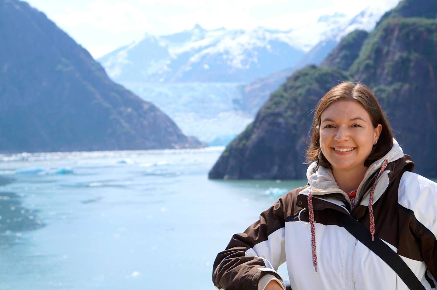
Of course, mountain glaciers all over the world are also melting quickly, particularly in our very own Alaska, where I took a group of students a few years ago to see this firsthand.

Crack progression on the Larsen C ice shelf, image by European Space Agency [CC BY-SA 3.0-igo (http://creativecommons.org/licenses/by-sa/3.0-igo)], via Wikimedia Commons
Is the ice shelf lost forever, or will it re-form?
We’ve lost 12 percent of the Larsen C ice shelf for good; it won’t re-form. Think of it as a remnant from another era. This era isn’t one that could support ice-shelf formation on that scale.
Aren’t we only in the early stages of researching these changes? How much historical data is available on the ice caps?
Yes, our satellite record of the ice caps begins around the mid-’70s, so while that record is somewhat short, we have some other pretty neat historic sources of data. For example, did you know that Russian submarines kept a record of Arctic sea ice during the early 1900s?
In some ways, the ice can also tell its own history. Ice cores from sheets and glaciers around the world tell us about their own past. Our longest Antarctic ice core can take us back almost 1 million years. Glaciology also involves looking at geology and land forms to determine historic data. It is all pretty fascinating. Today, we have planes that fly over these features with instruments that can measure thicknesses, and it would be fantastic if this detailed record could continue.
What can we do?
Reduce our carbon emissions today. Support policies that help us reduce emissions and move away from coal and natural gas and toward renewables like wind and solar … Let’s not let up our guard, though; it takes all of us to make sure we achieve these goals. We also have to support our scientists – it takes resources to get satellites and planes over these fragile pieces of ice to keep track of these changes and let our non-mile-high friends know just how much sea-level rise to plan for.


